Long ridges
Long and narrow
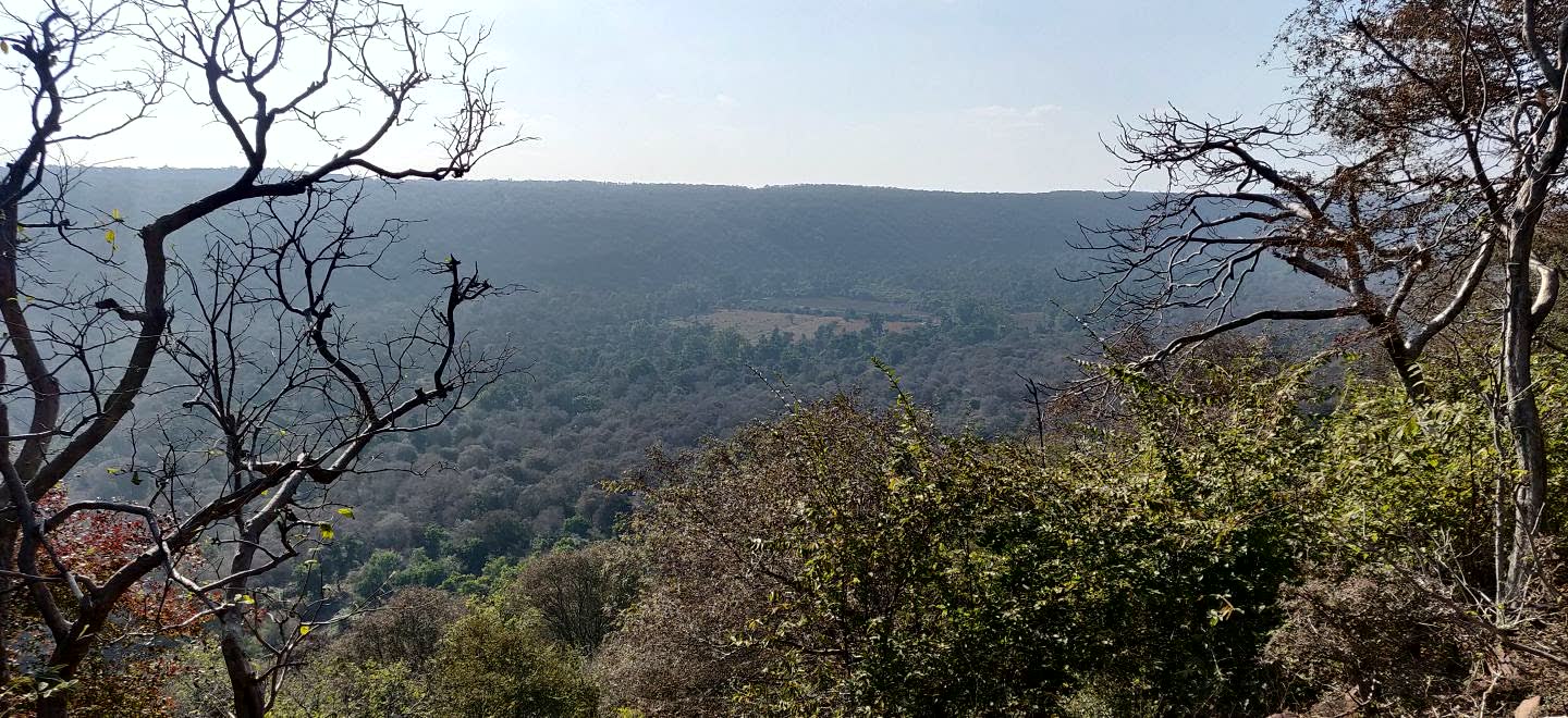
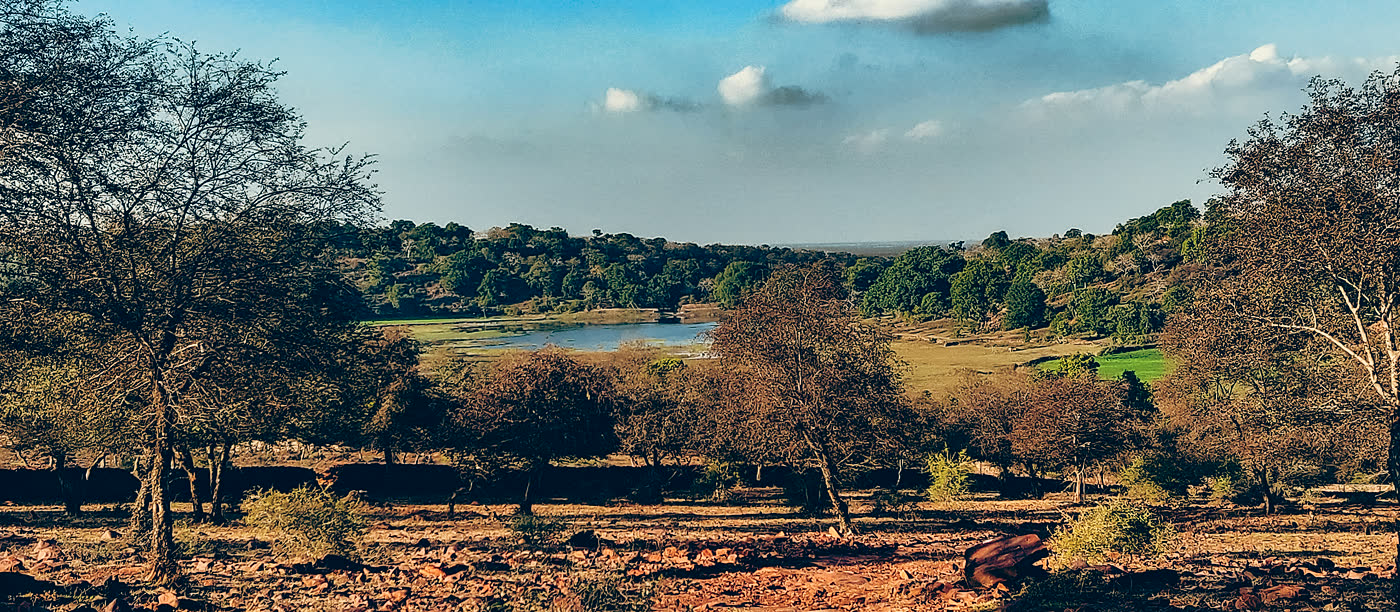
Official and research sources describe a narrow ridge system running roughly from the Chambal side towards the Kalisindh side. That shape makes edges and connectivity central.
Landscape Deep Dive
MHTR is a long Vindhyan hill-and-river system, not a single round forest block. Its ecology is shaped by dry deciduous woodland, Chambal-linked water, rocky slopes, old settlement edges, seasonal vegetation and the wider corridor context around south-eastern Rajasthan.
First Read
A useful landscape page should help a first-time reader read the land before reading a map: where the ridges run, where water stays, where old human edges sit, and why small habitats matter.
Official and research sources describe a narrow ridge system running roughly from the Chambal side towards the Kalisindh side. That shape makes edges and connectivity central.
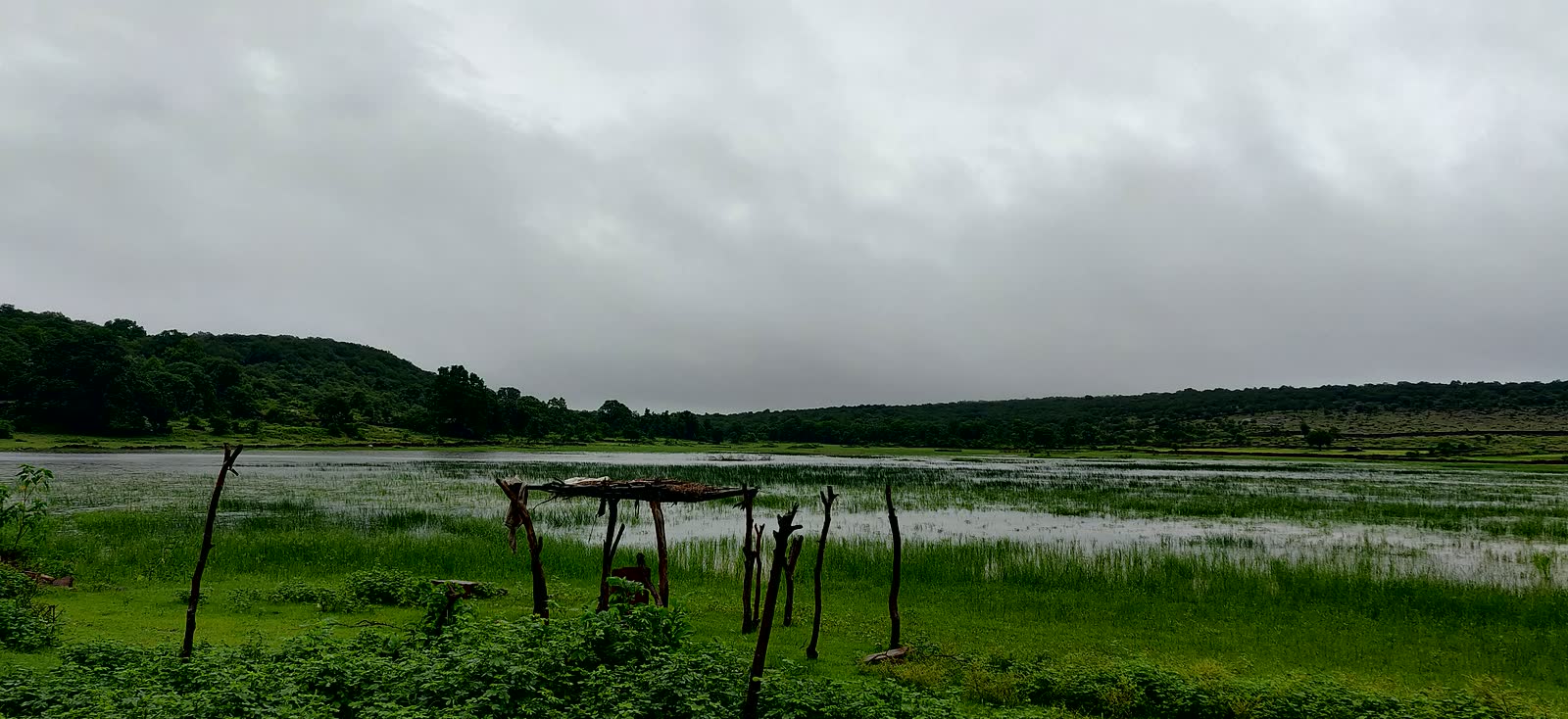
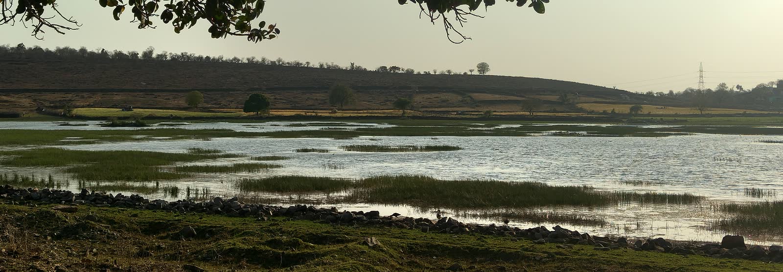
Rain, nalas, reservoirs and river edges decide where grasses, insects, amphibians and water-dependent wildlife respond first.
In summer, reliable water and shade become ecological anchors. This is when disturbance, access and monitoring discipline matter most.
Old structures, routes, villages, farms, roads and rail lines make the reserve a lived landscape, not a blank wilderness. This helps explain eco-sensitive-zone planning, conflict reduction and why conservation cannot be read from forest cover alone.
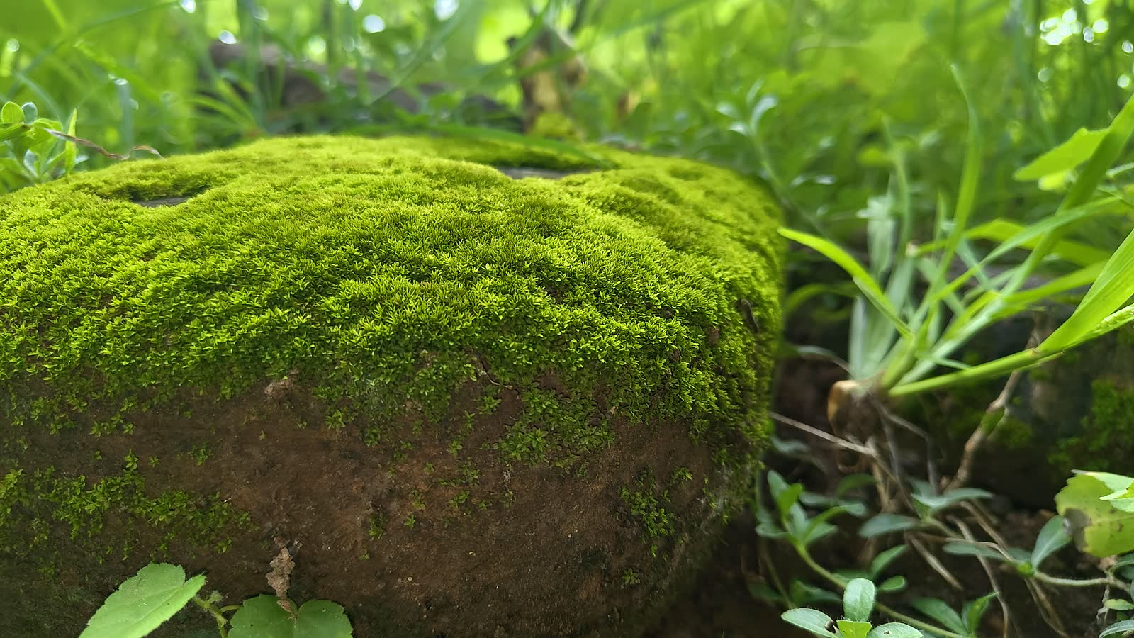
Moss, shaded rocks and damp corners show where humidity survives inside a dry landscape. These microhabitats support insects, amphibians, reptiles, seedlings and the lower food web that researchers watch across seasons.
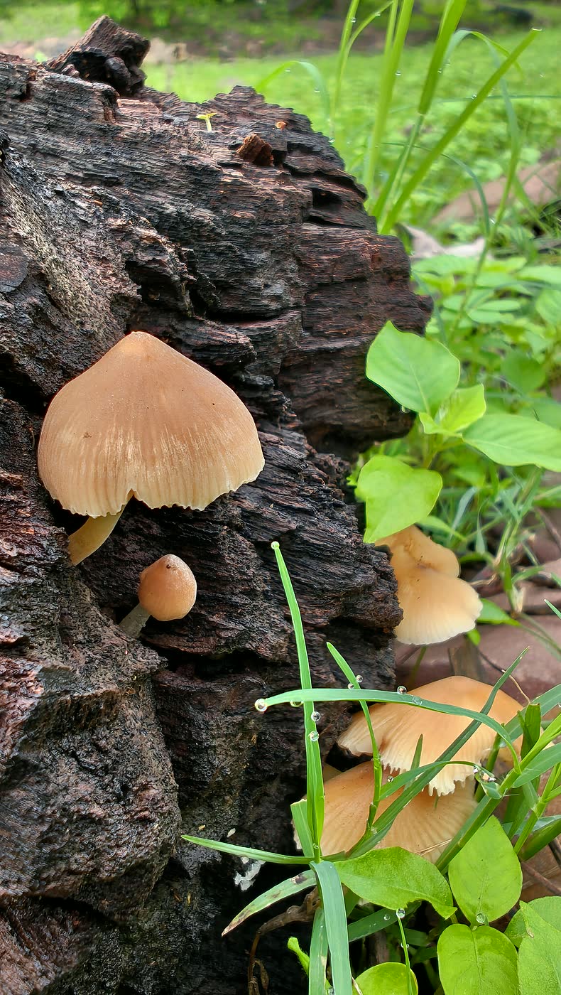
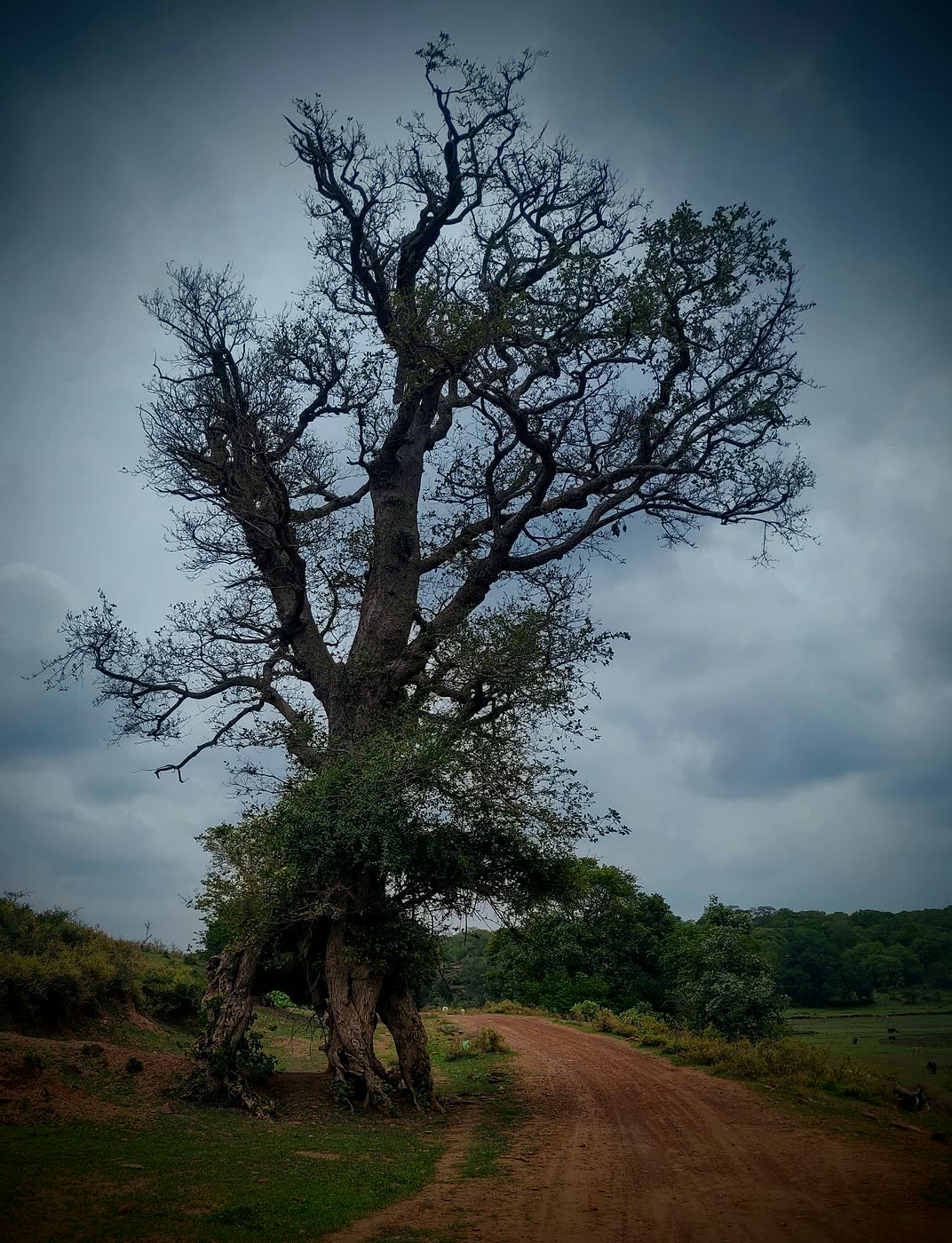
Deadwood and fungus support insects, soil organisms and hidden food chains that larger wildlife ultimately depends on.
Evidence Snapshot
These figures are not decorations. They help readers understand why sources sometimes appear to disagree: older national profiles, newer planning documents, river reports and field papers are answering different questions.
NTCA/WII material commonly presents about 417.17 sq km core plus 342.82 sq km buffer.
The updated TCP archive includes the wider area context and the Bhainsrodgarh core-addition note.
The newer TCP states Bhainsrodgarh Sanctuary was added to MHTR by order 4854336 and made part of the core tiger reserve.
The updated TCP flora list includes trees, shrubs, climbers, herbs, grasses and other plant groups.
A phytodiversity study reported 36 tree, 21 shrub and 56 herbaceous species in its sampled plots.
A WII rapid assessment between Kota Barrage and Jawahar Sagar recorded rich bird and fish diversity along the connected river system.
Source nuance: use official documents for legal and management claims, research papers for sampled ecological evidence, and river reports for the Chambal-linked landscape context. Avoid treating any one figure as the whole story.
Biodiversity Importance
Tigers need prey, water and connected forest, but the landscape is held together by birds, reptiles, insects, scavengers, pollinators, old trees, deadwood, grasses and river edges.
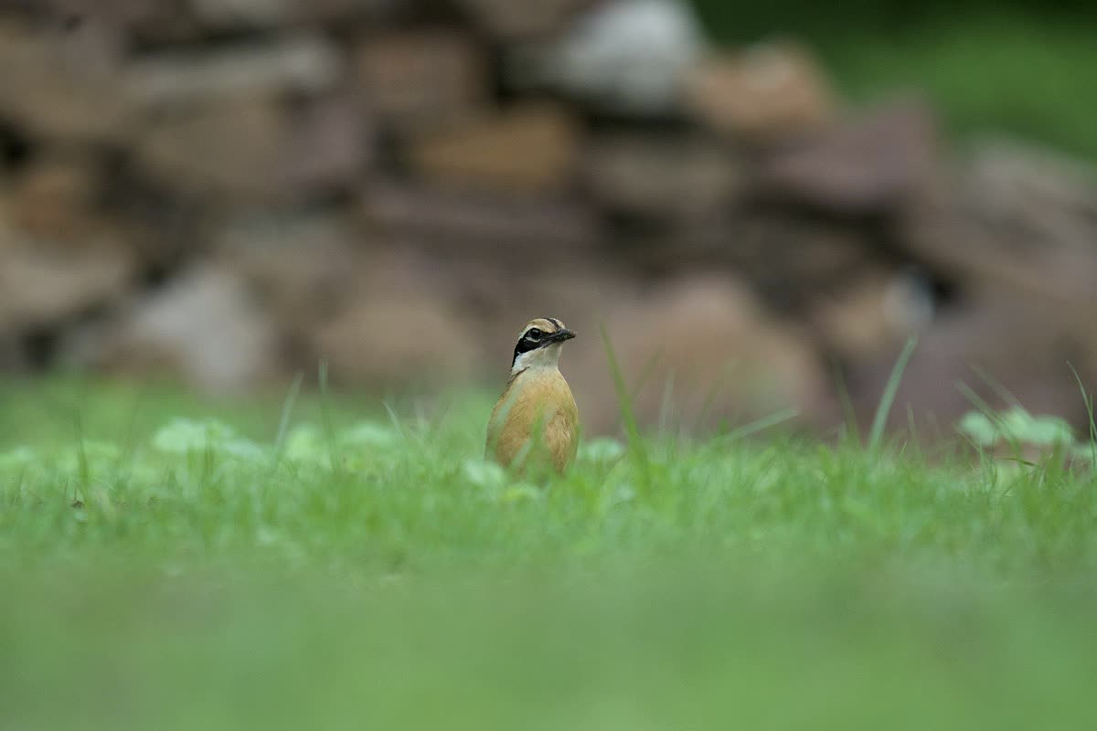
Ground and low-canopy birds point to shade, leaf litter, insects and quieter forest pockets.
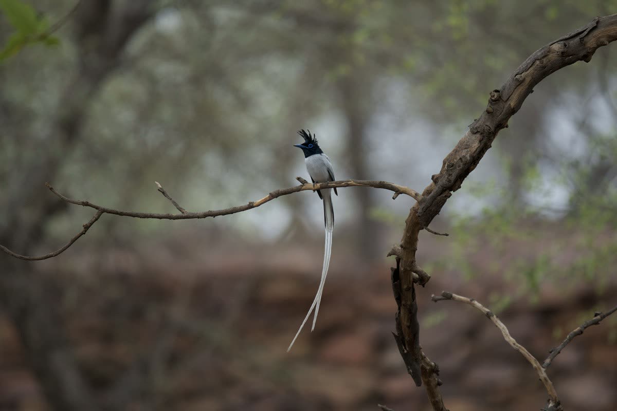
Flycatchers help readers notice insects, shade, riparian trees and the value of layered vegetation.
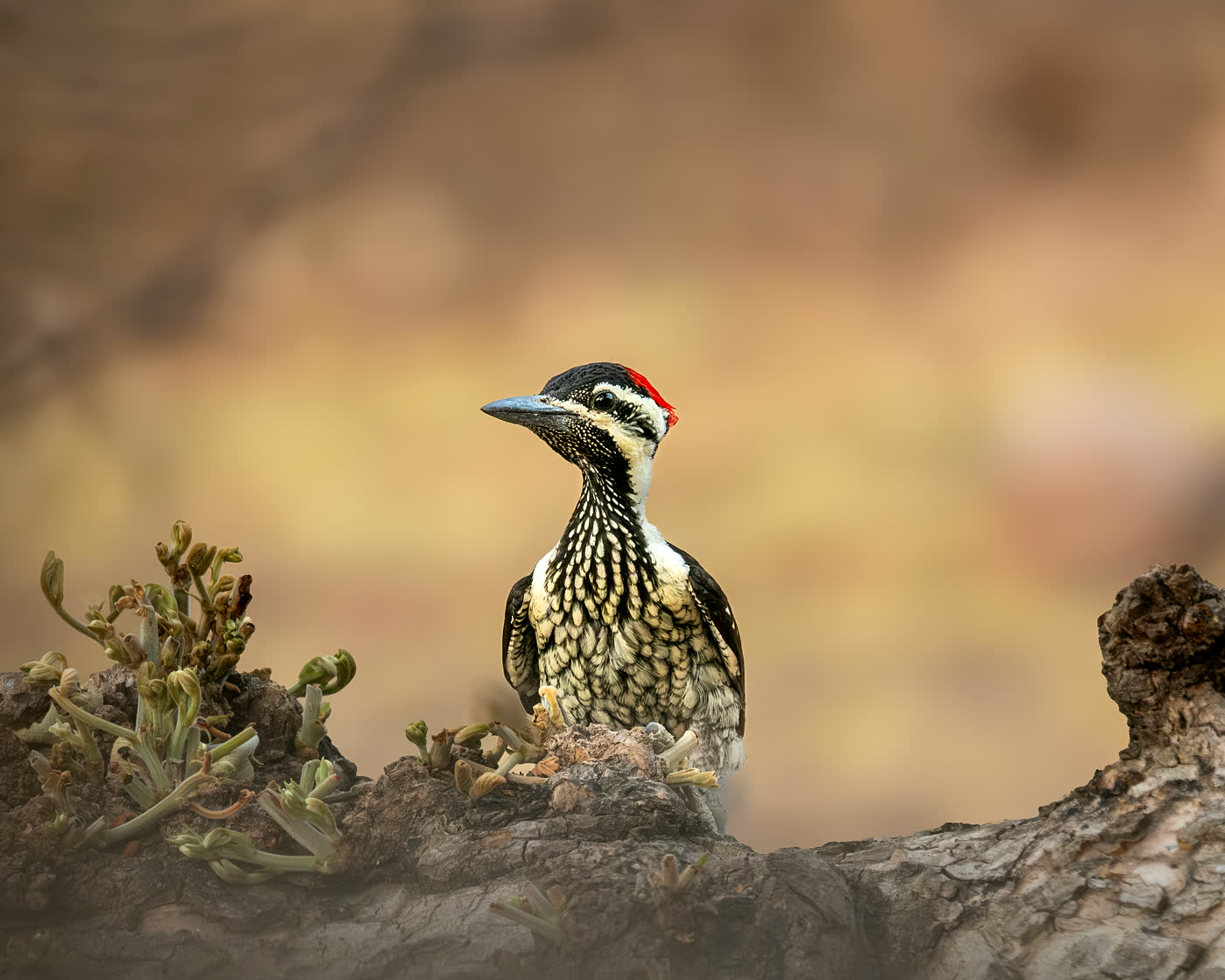
Woodpeckers make tree health, cavities, bark insects and standing deadwood visible to ordinary readers.
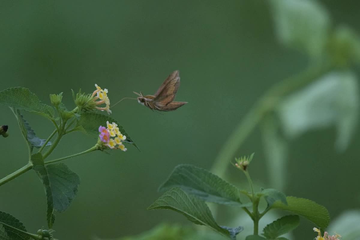
Pollinators show why monsoon growth, flowering plants and small seasonal cycles belong in a tiger-reserve story.
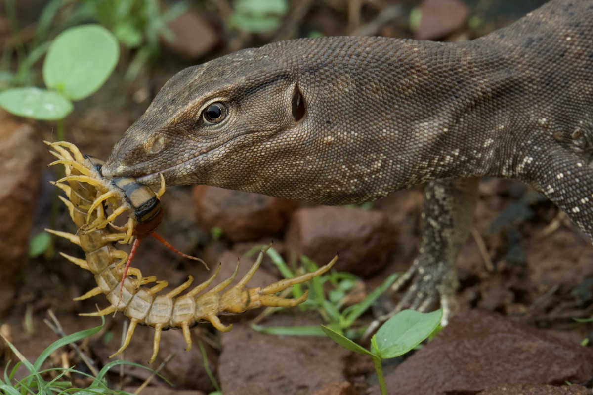
Monitor lizards connect scrub, rocks, prey, carrion, burrows and warm open patches in one field scene.
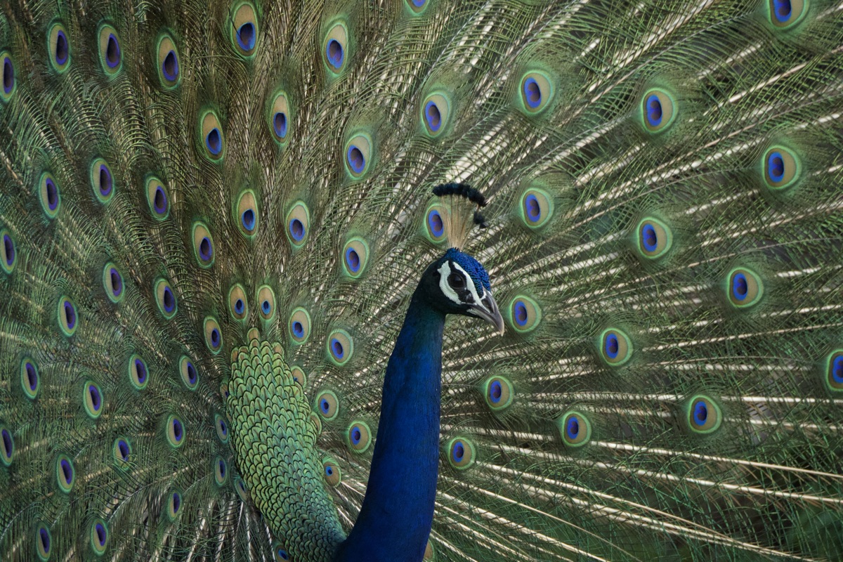
Peafowl are familiar, but they also help explain edges, farms, clearings, roost trees and seasonal food.
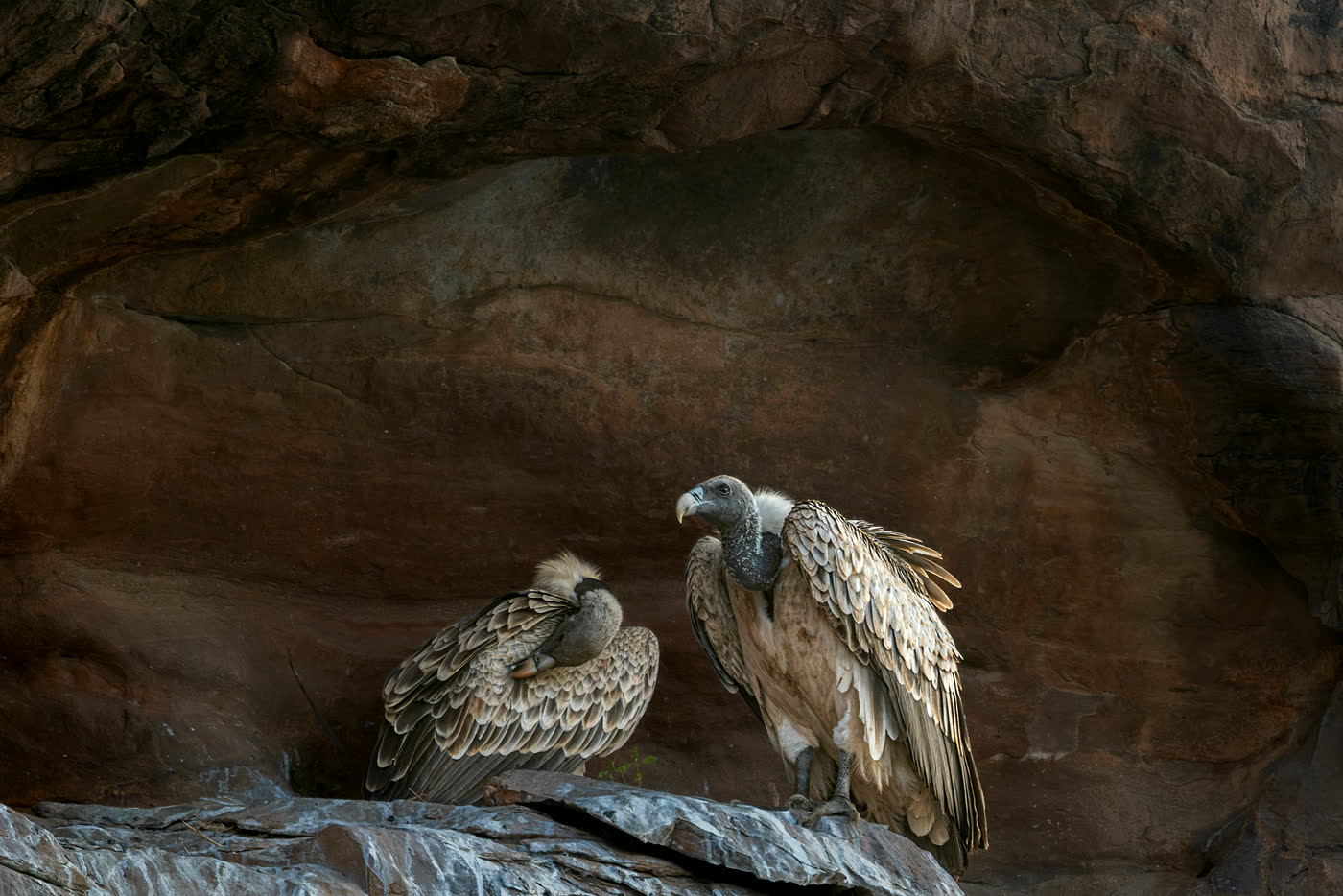
Scavengers make cliffs, carcass availability, veterinary risk and open-country movement part of the conservation conversation.
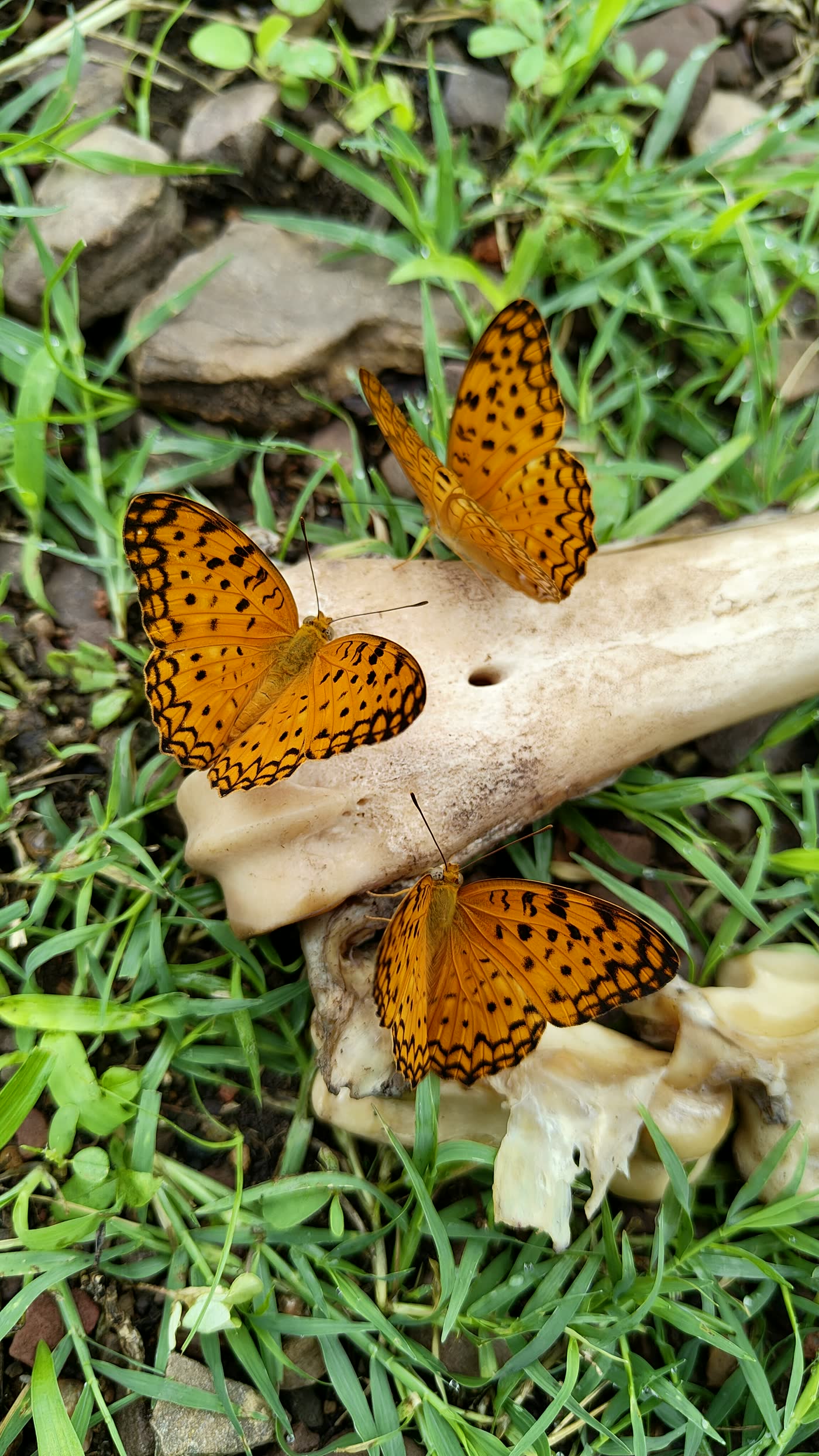
Even a small butterfly on old bones explains minerals, decay and the hidden recycling that keeps habitats alive.
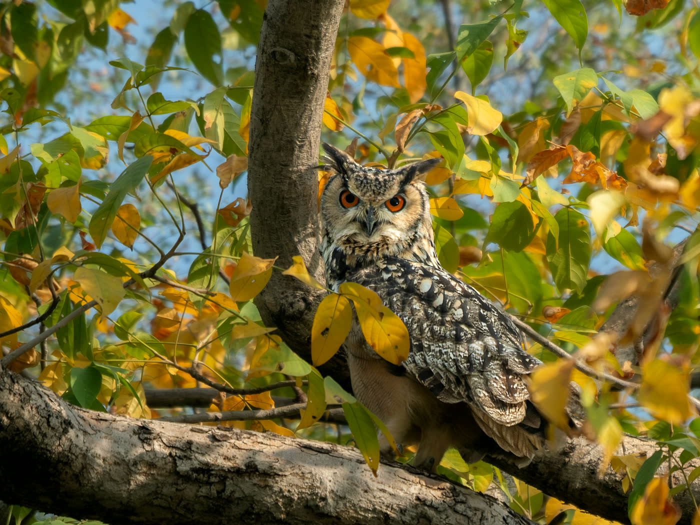
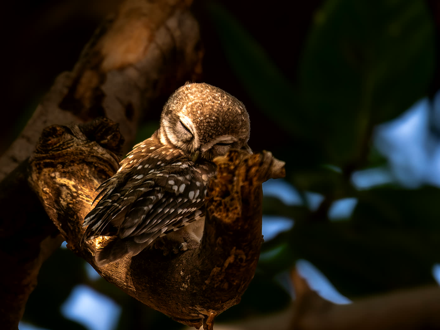
Owls remind readers that old trees, rocky shelter and undisturbed daytime roosting space are also habitat.
Water And Seasons
Mukundara changes fast between summer, monsoon and winter. A public landscape guide should help readers notice the seasonal logic without turning water points or wildlife-use areas into directions.
Shade, perennial water and low disturbance become more important.
Grasses, herbs, insects, amphibians and nalas respond quickly.
Open vegetation and wetland activity make repeated surveys easier.
Human Footprints
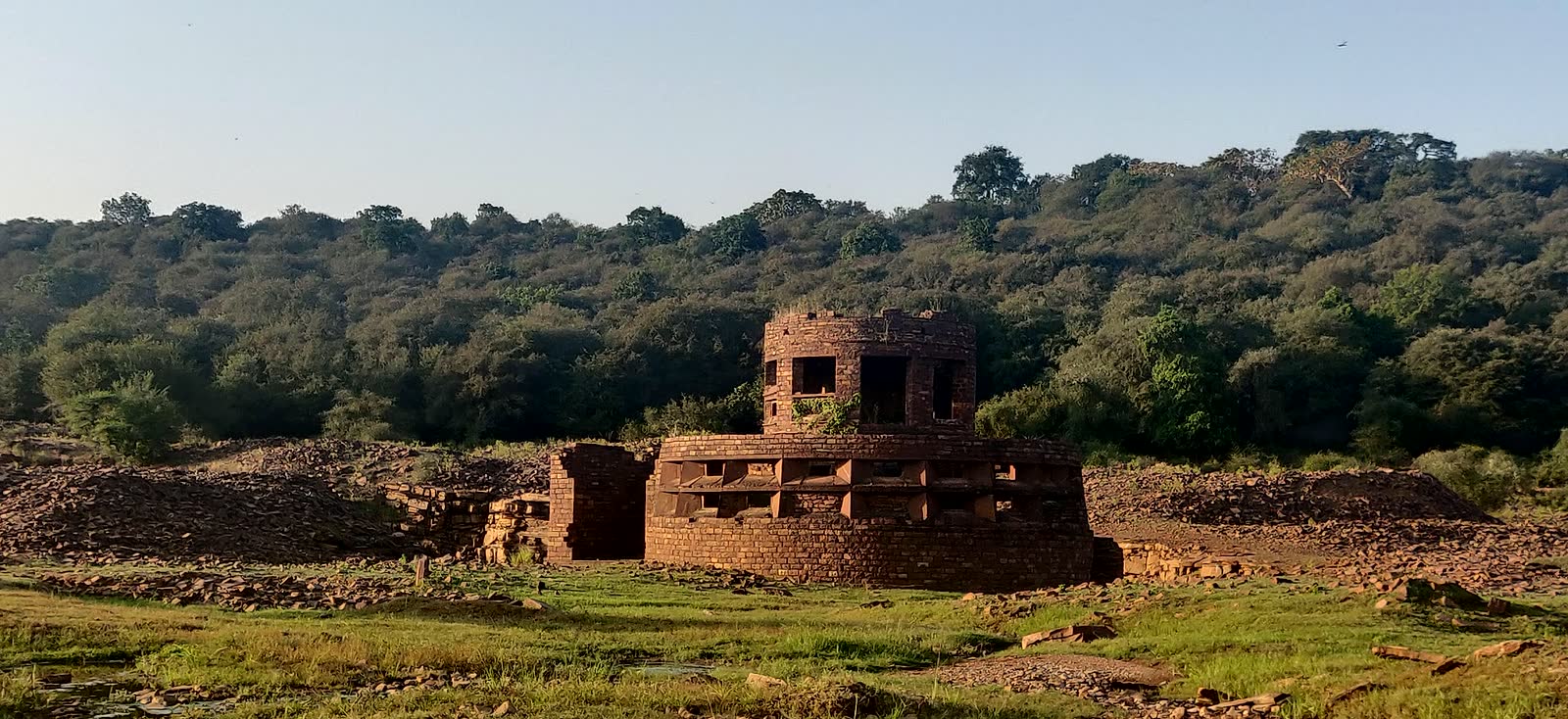
The reserve is not only boundary lines and forest compartments. Cultural memory, old structures, sacred trees, paths and everyday edges help explain how people and habitat have shaped one another.
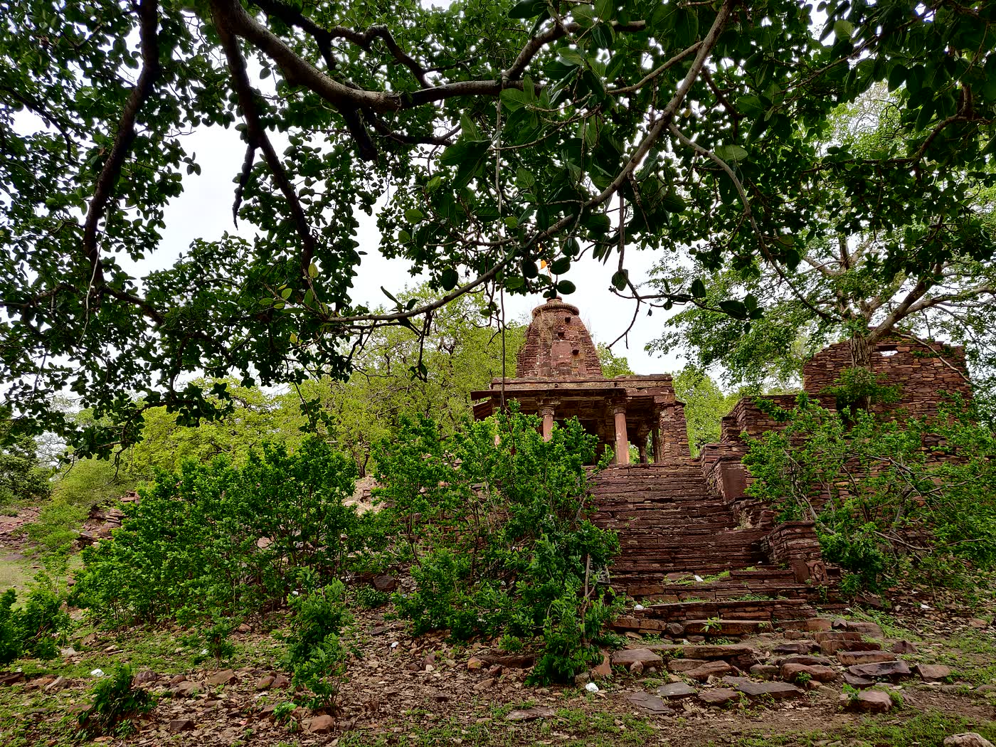
Old shrines and stonework show how worship, routes, water and forest edges have met for generations.
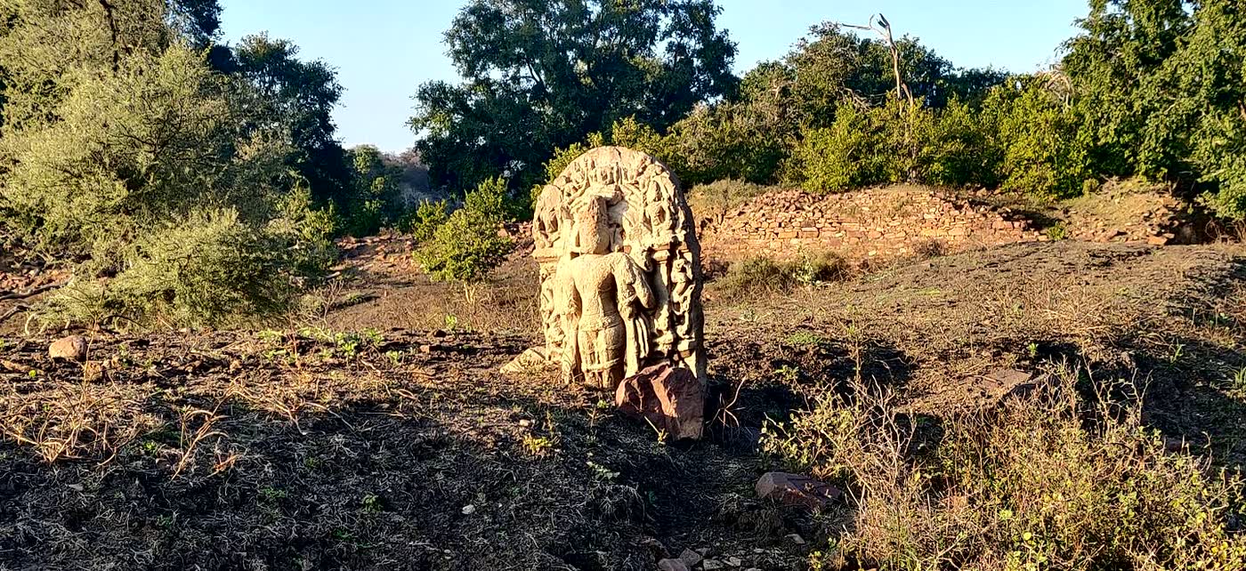
Stone markers are part of how local communities remember routes, worship, water and place.
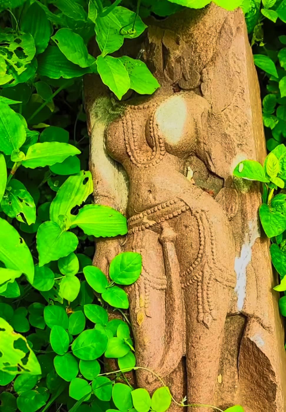
Sculpture details surrounded by plants show how built heritage slowly becomes part of the living forest edge.
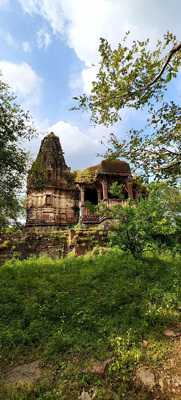
Old temples, seasonal vegetation and hill slopes together make the reserve feel like a continuous landscape.
Conservation Reading
Beauty is only half the story. A useful MHTR overview also points to pressures that shape conservation planning, research questions and citizen interpretation.
A long, narrow reserve has more edge per unit of habitat, so surrounding land use affects it strongly.
Highways, railway tracks and traffic can fragment movement unless mitigation is planned and maintained.
Heavy livestock pressure can affect grasses, prey support, disease risk and regeneration around edge habitats.
Species such as Prosopis and Lantana can simplify habitat and reduce useful forage in many dry landscapes.
Dry-season water concentration can increase wildlife dependence, disturbance risk and monitoring sensitivity.
Public education should explain patterns without publishing dens, nests, roosts, kill sites or live animal positions.
Public-Safe Interpretation
For citizens, this page is a way to understand the reserve without needing to read hundreds of pages first. For researchers, it is a starting index: a visual overview with source-backed numbers and links into the primary documents.
Primary Sources
This page keeps the story readable. The links below carry the source trail for reserve area, Bhainsrodgarh, habitats, plant records, river biodiversity, corridors and spatial context.
Support This Independent Portal
MHTR.in is an independently maintained public-interest portal for source-cited Mukundara records, field notes, maps, species references, and conservation-safe context. Reader contributions help keep the archive updated, accessible, and careful.