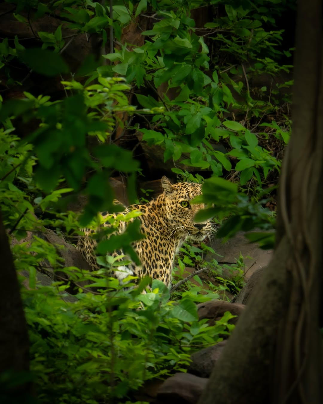
A tiger reserve is not just about tigers
Tigers need prey, water, quiet shelter and connected forest. That means the health of grasses, trees, streams, villages, roads and nearby forests also matters.
MHTR Public Guide
A readable guide to Mukundara Hills Tiger Reserve in south-eastern Rajasthan: where it is, why the landscape matters, how Bhainsrodgarh now fits the core reserve context, and how citizens can understand it without technical jargon.
Start Here
The site is now organised for two kinds of readers: citizens who want a clear overview, and people who want to go deeper into maps, habitats, documents and field evidence.
Hill ranges, water systems, corridors, core-buffer context, ESZ planning and conservation pressures.
Understand Mukundara Hills Tiger Reserve as a living landscape shaped by Vindhyan ridges, Chambal-linked hydrology, dry deciduous forest, wetlands and seasonal habitat change. Covers Bhainsrodgarh core addition, corridor links, ESZ planning, villages, roads, farms and the public evidence behind conservation decisions. Open landscape guide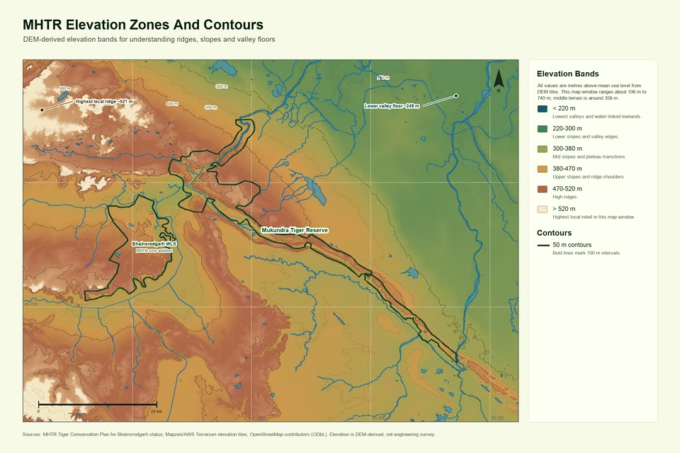
Boundary, terrain, hydrology, elevation and land-cover habitat maps with a fullscreen zoom viewer.
Open GIS maps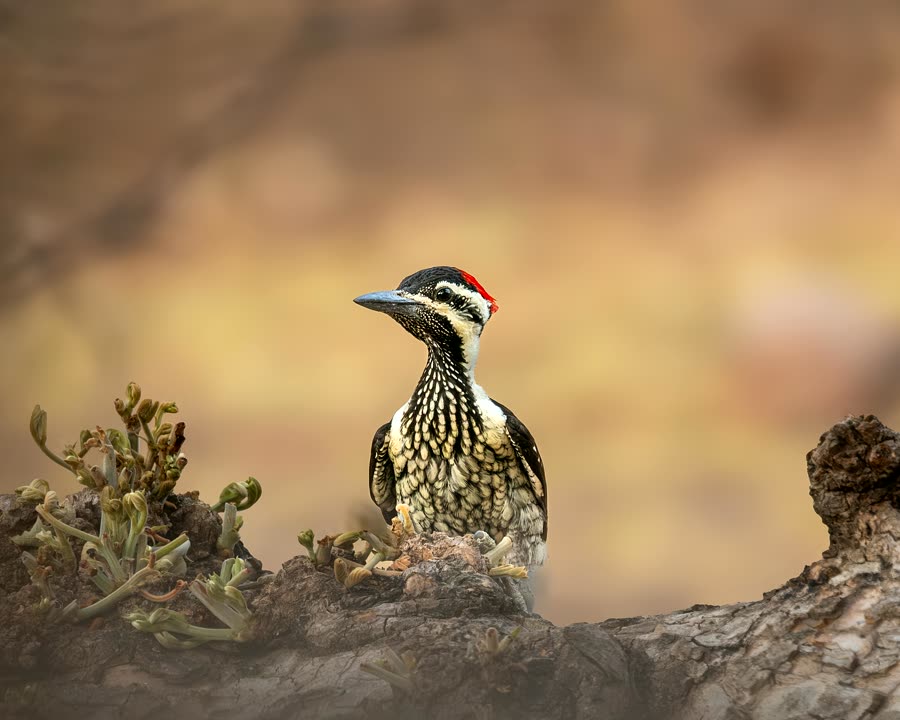
Search plants, birds, mammals, reptiles, amphibians and aquatic life without exposing locations.
Explore biodiversity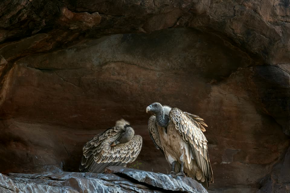
Official notifications, plans, GIS portals, field guides, research papers and legal references.
Browse resources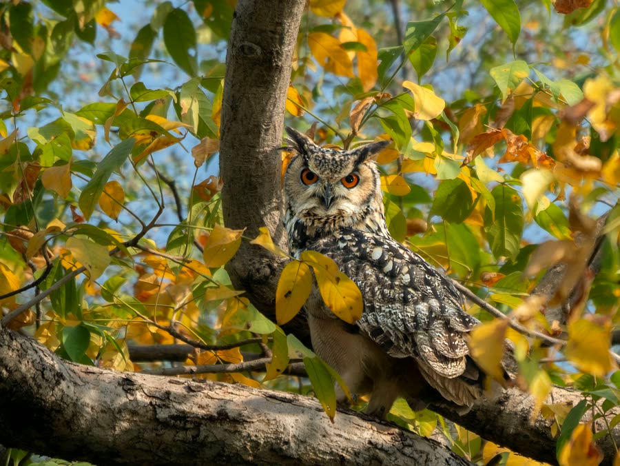
Readable observations, local natural history and careful documentation from the landscape.
Read field reportsPlain Language Guide
Tigers need prey, water, quiet shelter and connected forest. That means the health of grasses, trees, streams, villages, roads and nearby forests also matters.
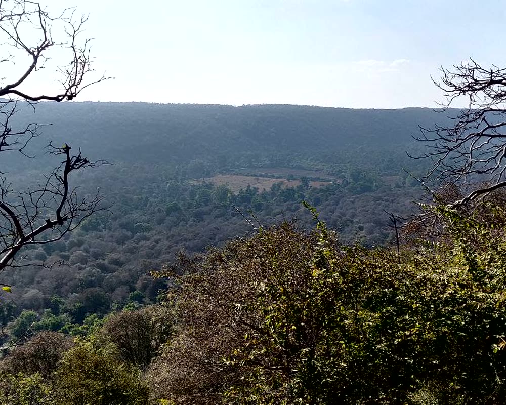
NTCA describes Mukundara as two nearly parallel flat-topped hills in the Vindhyan range, extending from the Chambal towards the Kalisindh. This shape makes connectivity important.
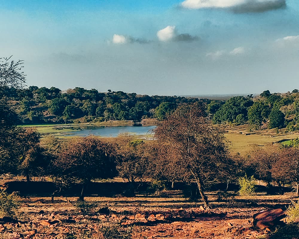
In summer, water points become crucial. In monsoon, grasses, insects and amphibians respond quickly. In winter, wetlands and river edges become easier to observe.

This site explains broad landscape patterns, but does not publish den sites, nests, exact animal-use points, or any location that could increase risk.
Map First
A simple map of MHTR should answer four public questions: where the reserve sits, how hills and water fit together, where the surrounding districts are, and why Bhainsrodgarh and wider corridor links matter.
Why It Matters
Once the basics are clear, the next step is learning how to notice the reserve without reducing it to a safari headline: human edges, small species, old trees and source-backed interpretation.
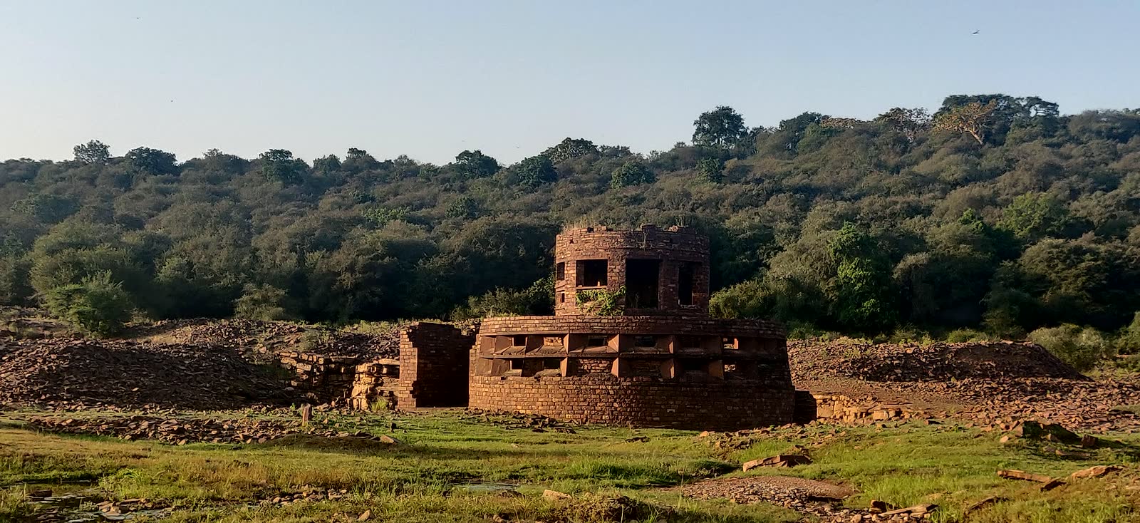
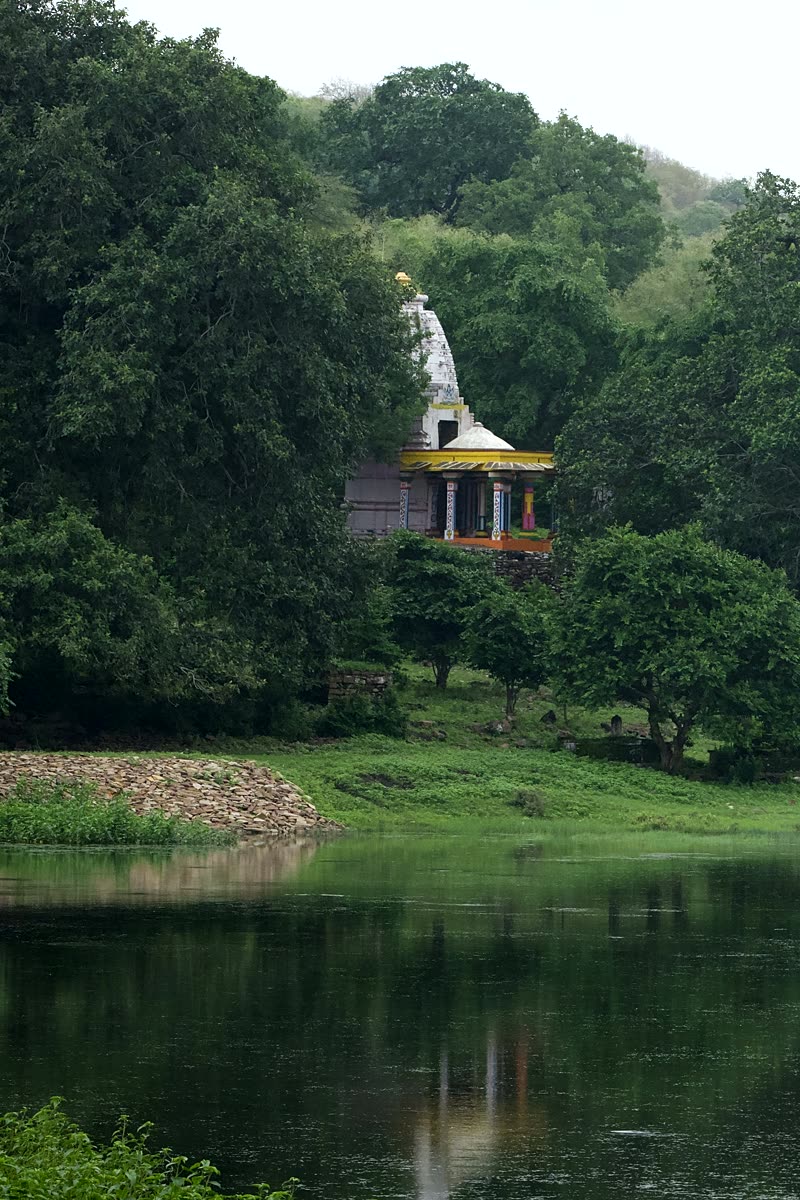
Old structures, villages, farms, roads and paths show why conservation has to read people, history and habitat together instead of treating the reserve as empty land.
Read human landscape notes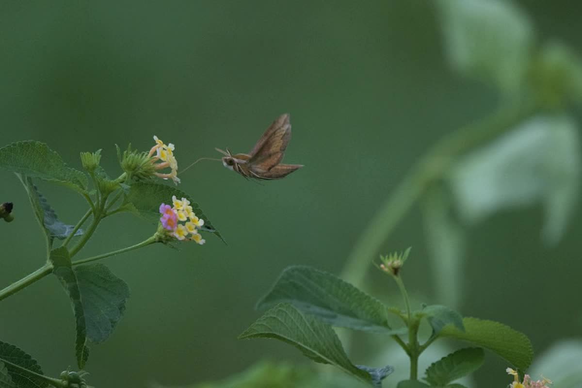
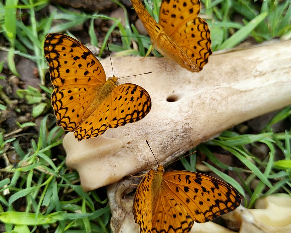
Pollinators, insects, grasses, fungi and reptiles make the food web visible. They help citizens understand why a tiger reserve is also a place of small seasonal signals.
See biodiversity signals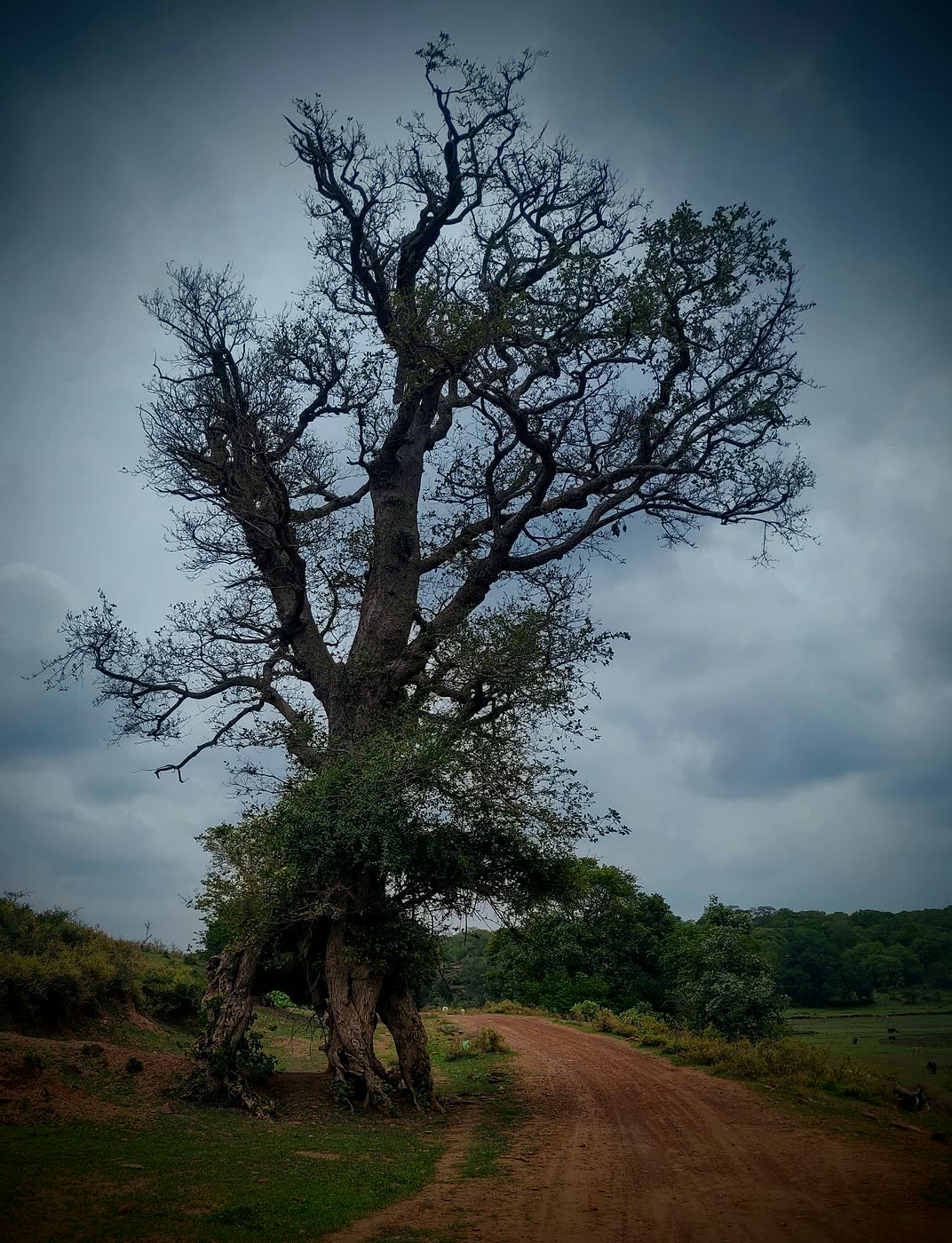
Shade, hollows, fruit, perches, leaf litter and memory of old routes all meet in mature trees. Protecting them protects many quiet dependencies at once.
Open landscape overviewQuick Glossary
The most protected part of a tiger reserve, meant to keep key wildlife habitat secure.
The surrounding management area where conservation, local livelihoods and conflict reduction meet.
A landscape connection that allows wildlife and genes to move between forest blocks over time.
A planning zone around protected areas where certain activities are regulated to reduce damage.
Source-backed
Key public facts are cross-checked against the NTCA brief note, WII MEE-TR geospatial profile, Rajasthan Forest Department protected-area pages, the Zonal Master Plan, the updated TCP copy that mentions Bhainsrodgarh, and the local document archive on this site.
Official Public Access
MHTR.in does not arrange safaris, take payments, or confirm tourist availability. For Mukundara safari booking, entry rules, fees, closures, and permit availability, use Rajasthan Forest Department channels and verify the live details before planning a visit.
FAQ
Short public-orientation answers. Use the linked landscape and resources pages when you need source detail, maps, notifications or research context.
Mukundara Hills Tiger Reserve is in south-eastern Rajasthan, in the wider Kota, Bundi, Chittorgarh and Jhalawar landscape.
मुकुंदरा हिल्स दक्षिण-पूर्वी राजस्थान में, कोटा, बूंदी, चित्तौड़गढ़ और झालावाड़ के व्यापक भू-दृश्य में है।
It combines Vindhyan hills, dry deciduous forest, Chambal-linked water systems, wetlands, rocky slopes and corridor value for the wider Rajasthan wildlife landscape.
The newer Tiger Conservation Plan states that Bhainsrodgarh Sanctuary was added to Mukandra Hills Tiger Reserve by order 4854336 dated 05.10.2023 and made part of the core tiger reserve.
No. MHTR.in is an independent public-interest information and research resource. For safari booking, permits, entry rules, fees, closures, and tourism updates, use the Rajasthan Forest Department booking links and the official OBMS portal.
Support This Independent Portal
MHTR.in is an independently maintained public-interest portal for source-cited Mukundara records, field notes, maps, species references, and conservation-safe context. Reader contributions help keep the archive updated, accessible, and careful.